5 Esri Alternatives 🧪

We've all have dealt with how frustrating working with ESRI software can be. From frequent, unsolved issues, the cost of using extensions, lack of customizability or even a difference in ethical uses, alternatives are always great to have should you need them.
1. Google Earth Engine - Remote Sensing
Google Earth Engine is one of the fastest and easiest ways to get started processing remote sensing data. The powerful part of this software is the ability to perform processes in browser with just a few lines of Javascript.
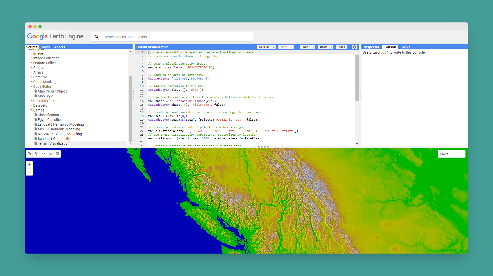
Getting started is easy. A great exercise to help you learn Google Earth Engine is visualizing elevation data. A great tutorial can be found here:

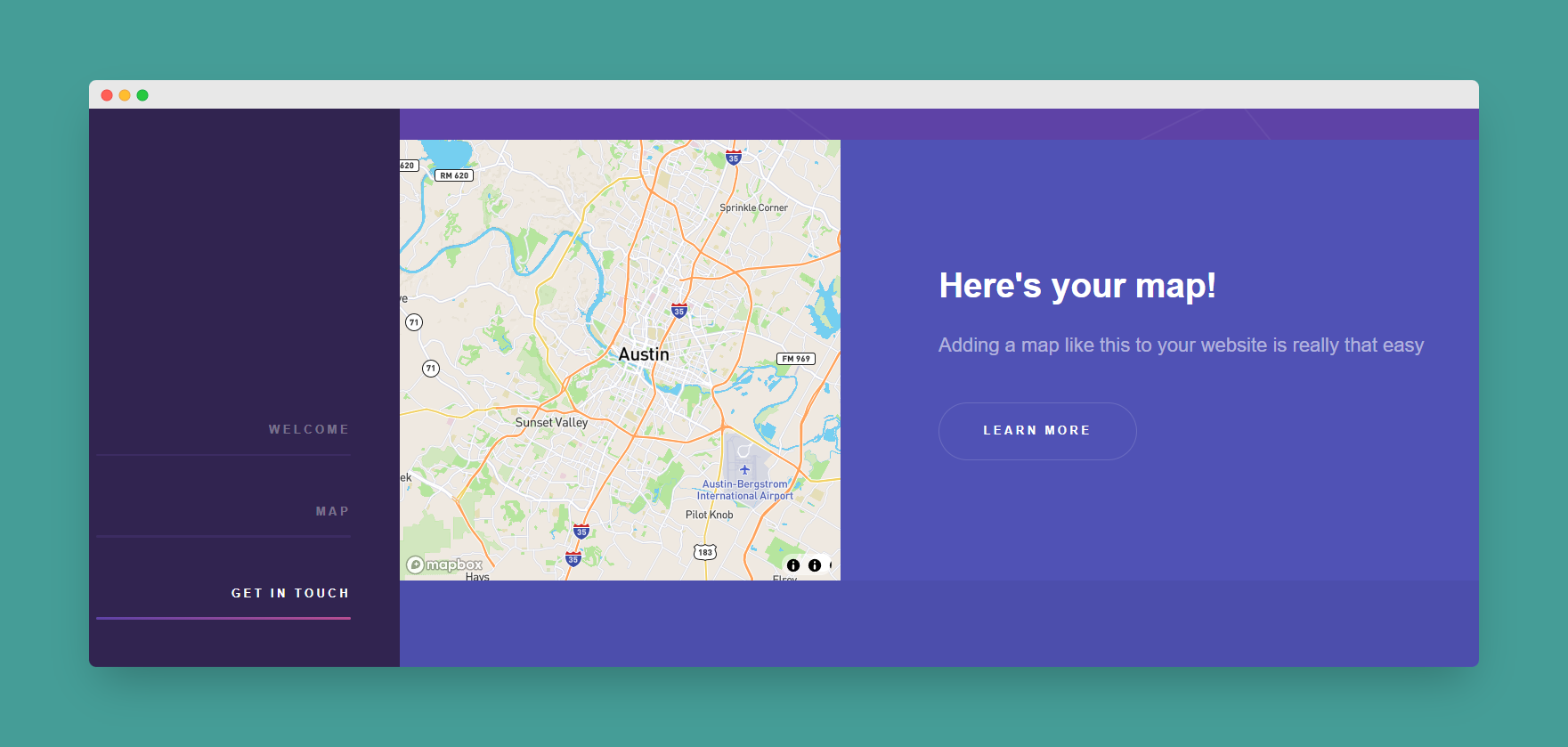
2. Mapbox - Web Applications
An alternative to ArcGIS Online, Mapbox offers a comprehensive library of visualization and processing tools for basic geospatial processing. If you have been relying on Google maps, ArcGIS Online, or simply need a great map for a custom webpage or application, Mapbox is a great alternative.
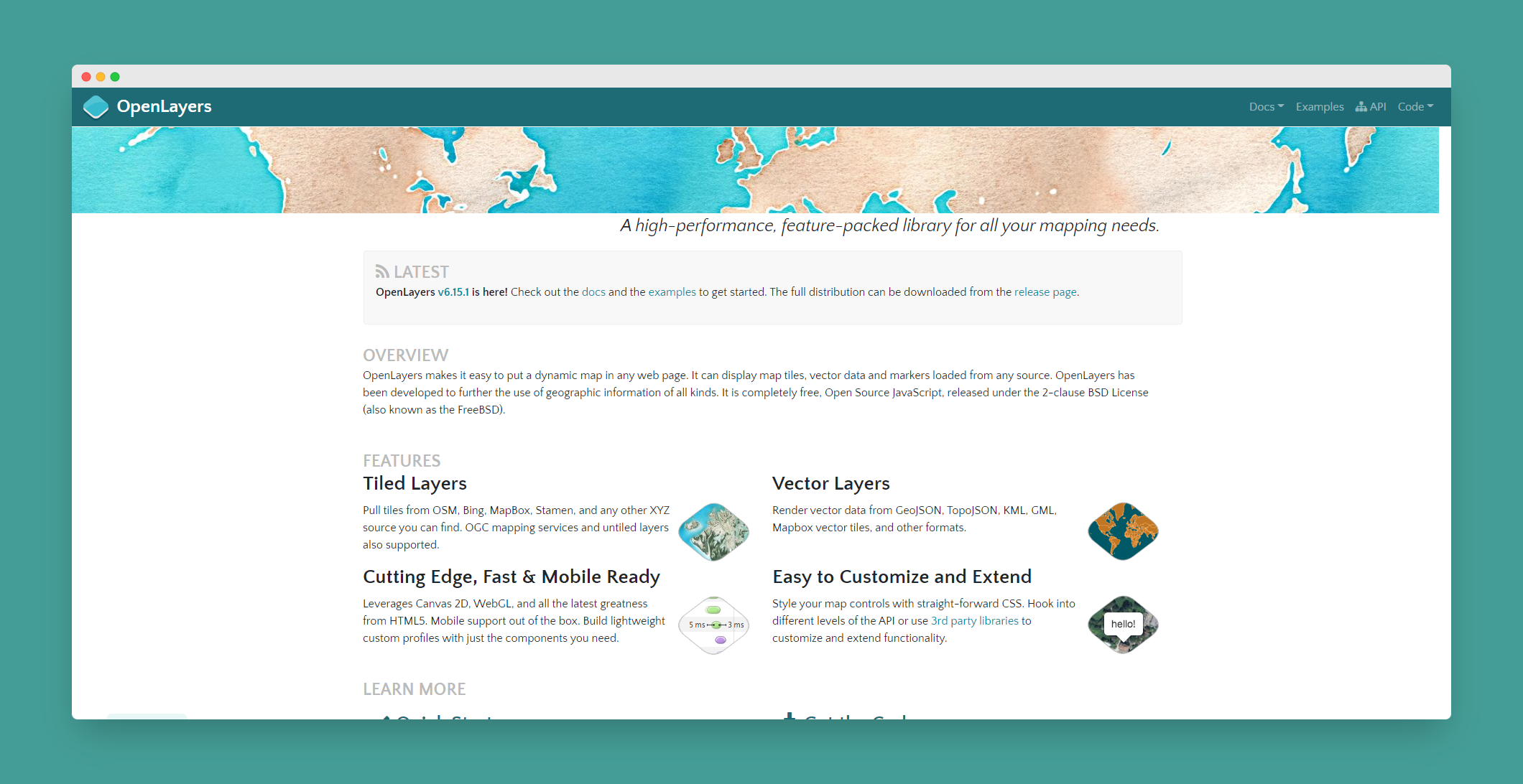
3 OpenLayers & OpenStreetmap - Base Maps
OpenLayers: Often finding a good base map to start a project on can be a challenge. For building web applications, a good source of web based base maps can be even more challenging. OpenLayers is a great resource and alterative to ESRI base maps for online applications.
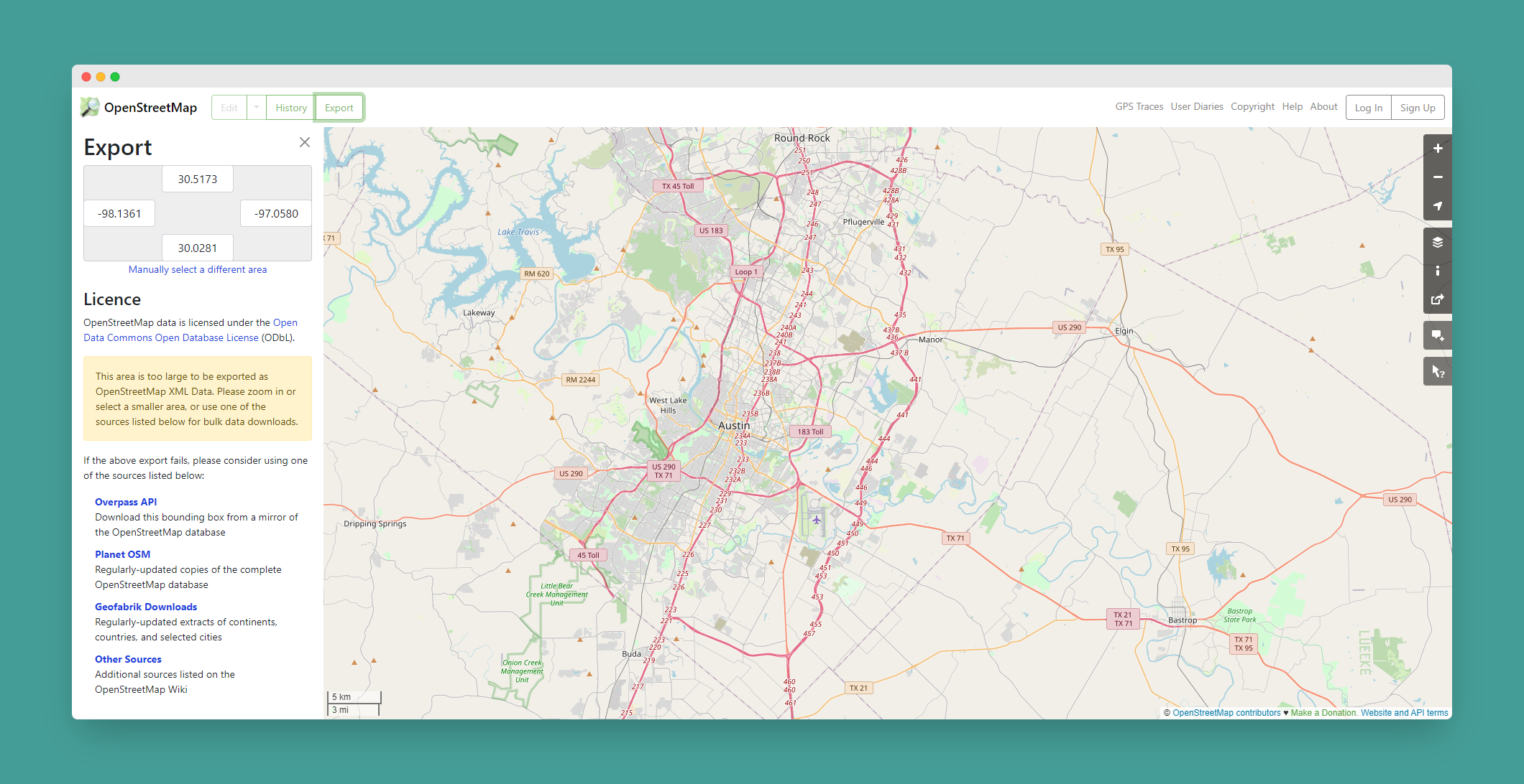
OpenStreetMap: A community built and maintained collection of street maps and transportation data. One of my favorite parts of OpenStreetMap is the ability to import it directly to QGIS with the Quick OSM plugin
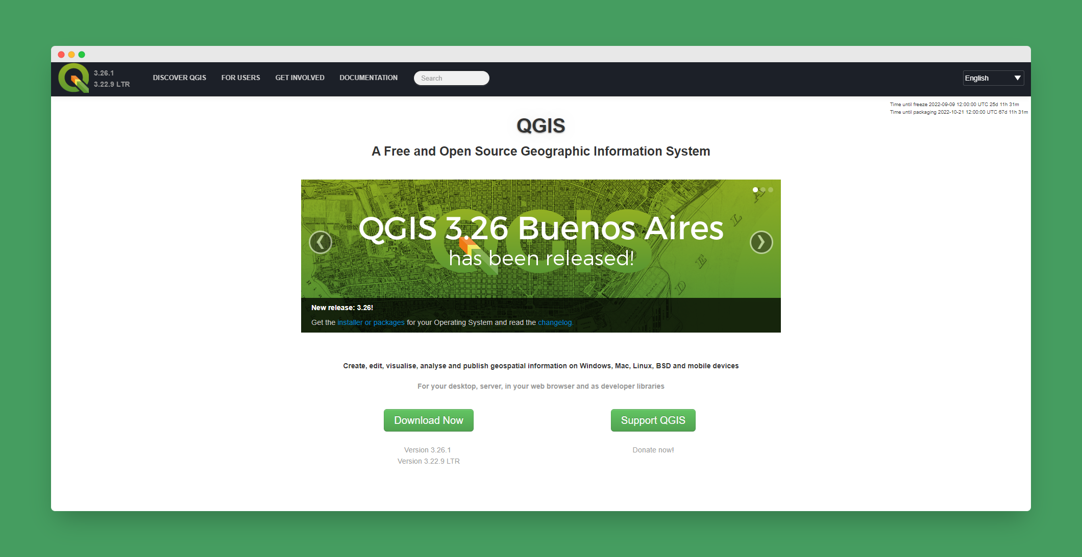
4. QGIS - Desktop Geoprocessing
If you've spent any time in the geospatial world, no doubt you've heard of QGIS. But unlike paid ArcMap alternitives, QGIS has been and always will be free. Supported by an amazing team and a community of contributors, features and reaguarly added and maintained. The software is getting better every year with more and more user friendly features added every year.
5. OSGeo - Open Source Geospatial
Foster global adoption of open geospatial technology by being an inclusive software foundation devoted to an open philosophy and participatory community driven development. - OSGeo Mission Statement
With the use of free and open source applications, espesially when searching for alternatives to ESIR or bigger names, it's good to know organizations like OSGeo are working hard to encourage adoption and education in open source software and application. If you are looking for more open source geospatial tools, this is a great place to start.


